
Do Botanical Gardens Have Maps or Apps for Visitors?
Most botanical gardens offer at least one route-finding option: a web map, a printed plan at the entrance or visitor center, and sometimes a mobile app. For a large garden, choose the format that works offline and shows paths, restrooms, entrances, and accessible routes. Otherwise, you can miss collections, backtrack, or pass the easiest access point.
Botanical garden navigation
Large botanical gardens can be hard to navigate without a map. The best option depends on signal, battery life, entrance layout, and whether you need wheelchair-friendly routing or staff help. Use the map to plan the order of the places you want to see before you start walking.
What this guide helps you decide
The main question is not whether a map exists. It is which format fits the visit. A web map is best for planning, a printed map works without mobile data, and an app can help if the garden offers one and it supports on-site navigation.
For example, the Prague botanical garden lists multiple entrances and a greenhouse area on its official visitor pages, so the route you choose can change the whole visit. That matters when you arrive by bus, want the nearest access point, or need the shortest walk to a specific section.
Do botanical gardens usually have maps?
Yes. Many botanical gardens provide a map or site plan on their website and often also at the entrance or visitor center. A good map should help you orient yourself quickly, find paths, and identify visitor facilities before you start walking the grounds.
Online site maps on the garden website
An online site map is the best place to start before you visit. The Prague botanical garden’s official map and visitor pages show entrances, routes, toilets, refreshments, and sections of the grounds. That makes the map a planning tool, not just a picture of the site.
Use the online map to check where the main access points are, which area you want first, and whether any facilities sit near your route. If the garden has different zones or collections, the website map can help you avoid unnecessary backtracking.
Printed maps at entrances and ticket offices
Printed maps are often available at the gate, ticket office, or visitor center. The Prague botanical garden notes that printed maps are available at ticket offices, which is useful when mobile data is weak or you want something you can fold, mark, and keep in hand.
A printed map is often the safest fallback for first-time visitors. It also works when your battery is low, the signal drops, or you do not want to keep unlocking your phone while walking.
What maps usually show
Garden maps often show entrances and exits, main paths, points of interest, and visitor facilities. Look for labels for greenhouses, expositions, collections, toilets, refreshments, ticket offices, and parking restrictions. Those details help you plan a route instead of wandering from one sign to the next.
- Entrances and exits
- Main paths and section boundaries
- Greenhouses, collections, and expositions
- Toilets, refreshments, and ticket offices
- Parking restrictions or service areas
Do botanical gardens have an app or digital map?
Sometimes, but not always. A garden app or mobile navigation tool is optional and garden-specific, so check before arrival rather than assume it exists. If the garden offers one, it may help with orientation inside the grounds and can work alongside a web map.
When an app is useful
An app can help when a garden is large, has many internal junctions, or offers route guidance to specific collections. It may be especially useful if the garden builds navigation around your current location or lets you switch between sections quickly.
Use that kind of tool as a complement, not a replacement, for a map you can still read if the battery runs down. A phone map is helpful only when the device stays on and the garden’s coverage is usable.
When a web map is enough
A web map is enough for many visits. It gives you the basic layout, entrance locations, and the main route between the parts you want to see. If you only need to move between a few named collections or facilities, a website map is often the simplest choice.
For planning, save the map on your phone before leaving home. That way, you have a copy ready even if the signal fades once you get there.
What to check before you arrive
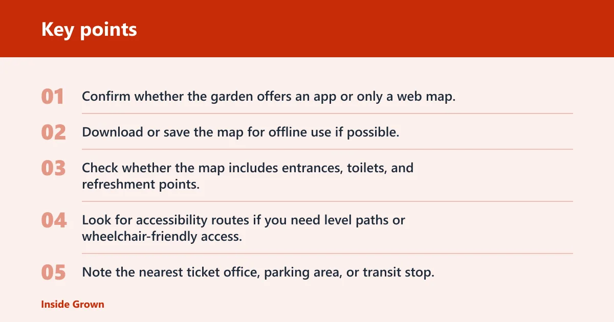
- Confirm whether the garden offers an app or only a web map.
- Download or save the map for offline use if possible.
- Check whether the map includes entrances, toilets, and refreshment points.
- Look for accessibility routes if you need level paths or wheelchair-friendly access.
- Note the nearest ticket office, parking area, or transit stop.
A common first-timer mistake is arriving with only a phone browser tab open. If the signal drops at the gate, that tab may be useless. A saved map or printed plan prevents that problem.
How to use entrances, exits, and routes
Entrances and exits matter most in large gardens or any site with multiple access points. A map that names each entry point helps you choose the right one for bus arrival, car parking, or a specific section of the garden. It also helps you leave from the closest exit when the visit ends.
Multiple access points
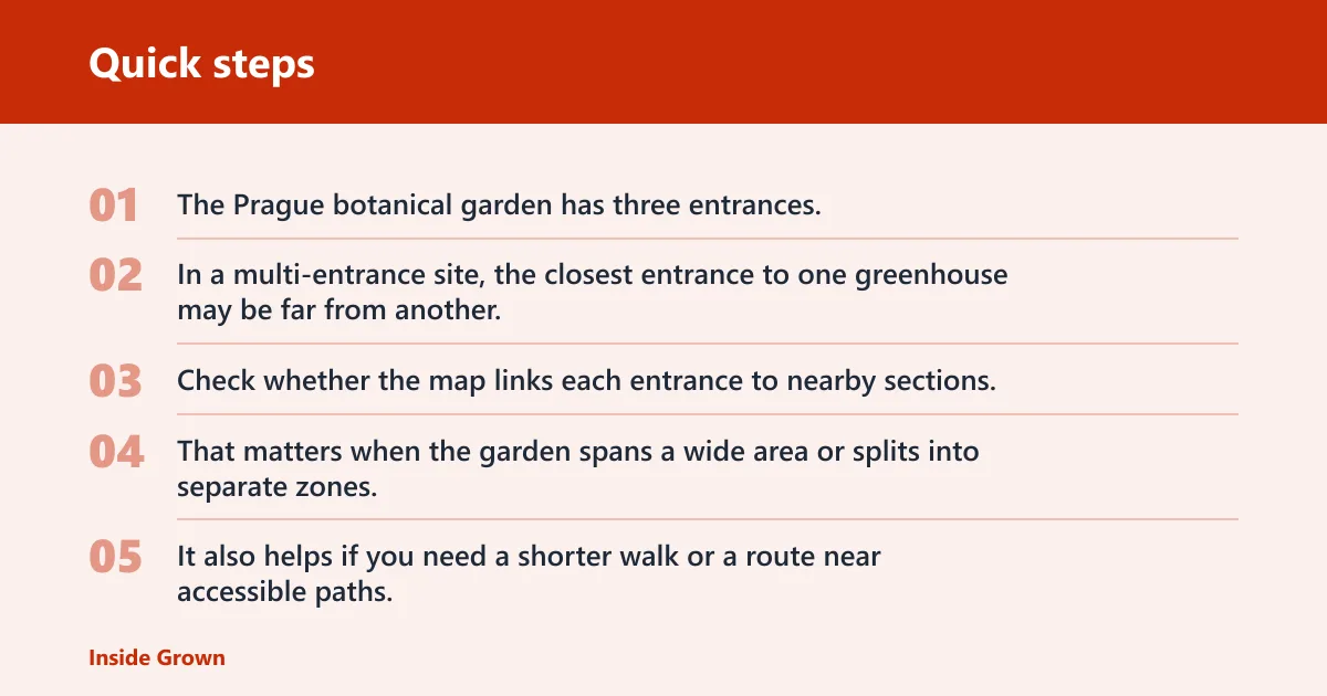
The Prague botanical garden has three entrances, which is a useful reminder that a garden may not have just one front gate. In a multi-entrance site, the closest entrance to one greenhouse may be far from another, so the route choice matters before you step inside.
Check whether the map links each entrance to nearby sections. That matters when the garden spans a wide area or splits into separate zones. It also helps if you need a shorter walk or a route near accessible paths. The official visitor pages are the best place to confirm this before arrival.
Arriving by bus or car
If you arrive by bus or car, entrance location becomes part of the route plan. A map can show where the entry points sit relative to stops, parking areas, and possible restrictions. That keeps you from walking to the wrong side of the grounds and doubling the distance.
Parking restrictions are worth checking before departure. Some gardens place visitor parking away from the main entrance, and a map can show how to walk from the lot to the ticket desk or visitor facilities.
Planning between garden sections
Some gardens divide the grounds into several major parts. Mendel University’s official garden map breaks the site into multiple sections, which is exactly the kind of layout that benefits from advance planning. If you know which section contains the collection you want, you can map the shortest route there first.
Use posted maps as checkpoints once you are on site. That helps when the garden is split into zones or when a section is farther away than expected.
Can a map help you find exhibits and facilities?
Yes. Botanical garden maps are often most useful when they help you move between greenhouses, collections, expositions, and visitor facilities. A good map can save time by showing where the main sights sit relative to toilets, refreshments, ticket offices, and restricted parking areas.
Greenhouses, collections, and expositions
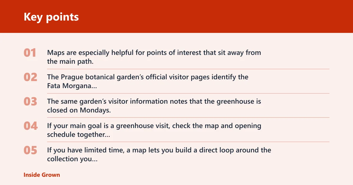
Maps are especially helpful for points of interest that sit away from the main path. The Prague botanical garden’s official visitor pages identify the Fata Morgana Greenhouse as a separate destination, which is the kind of detail that matters when a greenhouse has its own hours or access rules.
The same garden’s visitor information notes that the greenhouse is closed on Mondays. If your main goal is a greenhouse visit, check the map and opening schedule together before you go.
If you have limited time, a map lets you build a direct loop around the collection you care about most. Time savings come from route choice, not speed alone.
Toilets, refreshments, and ticket offices
Facilities matter more than many visitors expect. Maps often show toilets, refreshments, and ticket offices because those stops affect how long you can stay and which direction you should take next. If you are visiting with children or a group, those labels are especially practical.
Printed maps at ticket offices can also help you orient yourself before the walk starts. If the map marks the café, restroom, and closest exit together, you can plan a short loop before moving on to the larger collection areas.
Parking restrictions and service areas
Some maps mark parking restrictions or service areas so visitors do not use roads or spaces that are not meant for guest parking. That can matter at large sites with staff access roads, shuttle points, or separate delivery zones.
When the map shows service areas, follow those boundaries closely. They help you avoid dead ends and keep you on visitor paths rather than staff-only routes.
Which navigation option should I use?
Pick the tool that matches the visit. If you have no signal, use a printed map. If the garden is large and has multiple entrances, start with the web map. If you need mobility or accessibility routing, use the app if the garden offers one, and keep a paper map as backup.
Quick decision checklist:
- No signal: use a printed map.
- Large multi-entrance garden: use the web map.
- Mobility or accessibility needs: use the app if available, with paper backup.
Accessibility needs deserve a separate check. MUNI states the botanical garden is wheelchair accessible, and it also says guided excursions are available only on weekdays and must be ordered in advance. That information matters because navigation is not only about direction; it is also about route choice and assistance.
If a garden offers staff help, ask where to get it. A staff-assisted route can be the best option when paths are uneven, the entrance is far from the main collection, or you need help finding a wheelchair-friendly way through the grounds.
When signs outperform maps inside the garden
Inside the grounds, signs can be more useful than maps when the route is short, the path is obvious, or the garden has clear direction markers at junctions. They also work better than apps when signal is weak. For multi-entrance visits, signs are best once the entrance choice is already made.
Use signs for the final stretch and use the map for the bigger plan. That combination is usually strongest in low-signal areas, at junctions near facilities, and when you want to leave by the closest exit without retracing the whole route.
Frequently asked questions
Do botanical gardens usually have maps for visitors?
Yes. Many botanical gardens provide a web map, a printed map, or both. The most useful maps show entrances, exits, routes, and visitor facilities. If you are visiting a large garden, check the website before you go and look for a map you can save offline.
Where can I get a printed map at a botanical garden?
Printed maps are often available at the entrance, ticket office, or visitor center. The Prague botanical garden says printed maps are available at ticket offices. If you expect weak signal or a long visit, pick up the paper map as soon as you arrive.
Can I find entrances, toilets, and refreshments on a botanical garden map?
Usually, yes. Many maps include entrances and exits, toilets, refreshments, ticket offices, and sometimes parking restrictions. Those labels help you plan a direct route, especially in large gardens where the closest facilities may not be near the main exhibit you want to see.
Is the map available online before I visit?
Often, yes. An online site map on the garden website is a common planning tool, and the Prague botanical garden’s official map and visitor pages show entrances, routes, expositions, toilets, and refreshments. Save it on your phone before you leave so you still have it if the signal drops.
What should I do if the garden is large or has multiple entrances?
Start with the web map and check which entrance is closest to the section you want. Large gardens can be hard to navigate without a plan, especially if they have multiple access points. Match the entrance to your arrival method, then use the printed map or signs once inside.
Are botanical garden maps useful for finding greenhouses and exhibits?
Yes. Maps are one of the easiest ways to locate greenhouses, collections, and expositions without wandering. If a greenhouse has separate hours or sits in another section, the map helps you plan the route and avoid arriving at the wrong gate or wrong time.
Do botanical gardens use signs and navigation inside the garden?
They usually do. Follow on-site signs or navigation once you are inside, especially if the garden has several sections or posted maps. Signs work best when paired with a map, because they tell you where you are now, while the map shows where to go next.
Is a botanical garden app better than a paper map?
Not always. An app can help if the garden offers one and it supports orientation or route guidance, but it depends on battery, signal, and device access. A paper map is often better when you need a reliable offline backup or when the site does not have strong coverage.